Location, Location, Location
- Share via
In the ranks of those fearing that doom is at hand, homeowners in the San Fernando Valley stand somewhere between Apple stockholders and the Michigan Militia.
When government and business try to alter policy or develop land, residents tend to assume it is all an unmitigated assault on their property values. The Valley is NIMBY central.
Often, those on the receiving end of their protective wrath shrink away in defeat. But not Mother Nature.
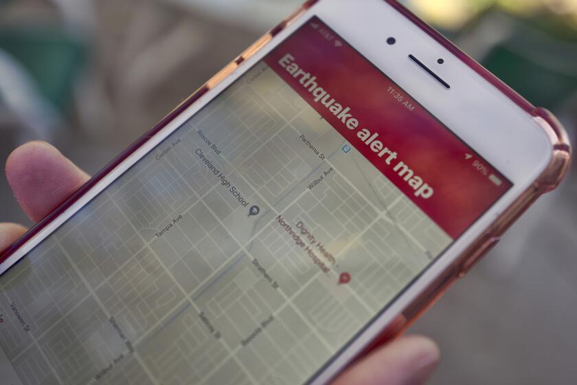
With that in mind, I headed to this month’s meeting of the Sherman Oaks Homeowners Assn., a group that author Mike Davis once called “the universal gear of suburban anger.” In addition to the usual updates on city charter reform and parking crises, the agenda included the first Valley showing of the state’s new “risk zone maps,” identifying areas where liquefaction and landslides due to earthquakes pose a particular threat.
When the maps become official in about five months, state law will require homeowners to disclose the property’s map status prior to a sale. The risks also will be factored into insurance rates and housing construction codes.
Having chronicled the community angst that often surrounds the rumored construction of even the most modest McDonald’s, I was not surprised by the overflow crowd in the spacious conference room at The Ventura, a meeting and banquet hall on the boulevard of that name. The crowd’s intensity, however, exceeded all expectations.
Of course, the rumble of a 3.2-magnitude quake centered north of Encino just half an hour before the meeting didn’t soothe many nerves.
Neighbors elbowed neighbors out of the way to get a look at a display roughly 10 feet high by 20 feet wide that contained the maps, along with blown-up color photos of quake damage with such reassuring captions as “Partial collapse of home due to landslide.”
Rows of people four and five deep surged forward, repeatedly toppling the display. Their rapid exchanges recalled the behavior of anxious honor students receiving final grades.
“I’m not in the [liquefaction] zone, but I am in the landslide zone, so that’s not too cool,” Bill Noack of Sherman Oaks said with tight-lipped resignation.
*
Others failed the stoic test. “Oh, my God! What does all this green stuff mean? I think we’re right in the middle of it!” one woman shrieked.
Families worked as teams; one “scout” infiltrated the front, located the family home on the map and communicated amid the din via a series of tense hand signals.
Meanwhile, officials from the state Department of Conservation did their best to quell the collective gloom. Chuck Real, who helped oversee production of the maps, reminded people that the maps’ emphasis is on awareness and risk limitation.
“The maps are not intended to produce that kind of reaction, like, ‘Should I sell now and cut my losses?’ ” Real said. “They’re more of a tool for local government than for the homeowners.”
Home foundations damaged by liquefaction--meaning soil soaked by rising underground water turns to jelly with heavy shaking--required an average of $67,000 for repairs after the Northridge quake. But it might cost a homeowner only $3,000 to $4,000 to strengthen a home against it, according to the state.
The California Assn. of Realtors has said there is little evidence that properties in risk zones sell for any less than those outside it. About an hour into the meeting, when I finally gained close-up access and sufficient oxygen, I saw that the maps do not locate the Valley’s northern half in the risk zone.
*
That means homeowners in Northridge and Sylmar, the epicenters of the devastating 1994 and 1971 quakes, won’t have to comply with the new requirements.
That won’t be news to Valley stalwarts, who have long known that L.A.’s biblical disasters don’t follow the Thomas Guide.
“You don’t need to show us a map to let us know what we’re up against,” said Sherman Oaks resident Steven Sadd, who did not attend the meeting. Homeowners, he added, “are a very anxious group to begin with, having gone through what we did.”
John Hagen-Brenner did not appear anxious, but he did come to the meeting thoroughly prepared. As a camera-wielding woman next to him took dozens of tight shots of the maps, he used a highlighter pen to compare photocopies of a street map to the risk maps, which have very little street detail.
*
Although he and his wife live in Van Nuys, Hagen-Brenner went to Sherman Oaks to familiarize himself with danger. Yet somehow he resisted the tide of uneasiness sweeping the room.
“We’re basically figuring we’ll roll the dice and see what happens,” he said with a shrug.
“The zone is only a part of the risk you take. You take a lot of risks living in this city. You just hope you can minimize them the best way possible.”
More to Read
Sign up for Essential California
The most important California stories and recommendations in your inbox every morning.
You may occasionally receive promotional content from the Los Angeles Times.


