L.A. prepares for debris flows, slides as major rainstorm set for this week

- Share via
An atmospheric river forecasters say is likely to be the strongest in nearly a year is set to unleash rain across Southern California this week, heightening concerns of damaging debris flows in areas ravaged by wildfire.
Rain is forecast to arrive by Wednesday morning, but the bigger threat is expected Thursday with heavy precipitation and strong winds that could cause flooding, power outages and travel delays.
Los Angeles County public works crews have created additional capacity in debris basins and installed thousands of feet of concrete barriers ahead of the rain. Crews have also put out sandbags and compost filter socks — a type of berm — and other items in fire zones to filter debris and prevent it from flowing into storm drains and out into the ocean, said L.A. County Supervisor Lindsey Horvath.
Authorities in L.A. County say the recent uptick in arson arrests was probably the result of increased public attention to common smaller fires, not the work of copycats.
Crews had begun putting these measures into place in the burn zones ahead of last week’s rain, which was relatively light and resulted in few impacts aside from rockslides and mudflows on some roads.
Horvath recommended that residents sign up for emergency alerts at ready.lacounty.gov, where they can also find information about sandbag distribution and other ways to prepare homes for the incoming rain.
“It’s been a challenging 2025 and we just want to get to a place of feeling normal and that we’re back to feeling like we can be at home,” Horvath said. “But these advisements around potential emergency and preparedness, in particular, are to keep people safe. We don’t want people to have emergency fatigue. We want them to be informed.”
The storm is expected to drop between 1½ inches and 3 inches of rain across much of Los Angeles County with between 3 inches and 6 inches of precipitation expected along south facing mountains and foothills. The storm will also unleash strong winds—up to 60 mph in some areas—on Thursday, said Ryan Kittell, a meteorologist with the National Weather Service in Oxnard.
Rain rates are expected to be between half an inch to an inch per hour on Thursday. The weather service will issue flood watches beginning Thursday morning for several areas that have recently burned, including the Palisades and Franklin fire scars, the Eaton fire burn area and the Bridge fire burn scar.
“Thursday is the period of most concern,” Kittell said. “That’s when we’ll have the heaviest rainfall rates and intensities. This is carrying with it a moderate risk for significant flooding, as well as recent burn scar debris flows.”
Further north, San Luis Obispo County could see even more precipitation—between 3 inches and 5 inches at lower elevations and between 5 inches and 10 inches in the mountains, Kittell said.
While rain of that magnitude would do wonders to end what’s been an especially devastating winter fire season, it also threatens to trigger landslides—another disaster that’s all too familiar for Californians.
After a relatively weak storm expected to arrive in L.A. late Thursday, forecasters say a potentially more powerful storm could hit around Valentine’s Day.
Landslides have always been a threat to those living close to the mountains. All it can take is an intense amount of rain in a short amount of time to create deadly and damaging flows of mud and debris.
When hills are verdant and healthy, vegetation can anchor the soil in place, even during heavy storms. But when that protective blanket is burned off, hillsides become vulnerable to erosion, and slopes can come crashing down in a torrent of mud, rocks and dead branches like whitewater rapids, imperiling any homes — or anyone — in their path.
“Landslide” is an all-encompassing term that can describe any movement of rock, dirt or debris downhill. One type of landslide is a mudflow, where water rushes down with only mud. And then there’s debris flow, where water rapidly flows downhill and picks up not only mud but rocks, branches, sometimes even massive boulders and cars.
The online tool can point wildfire survivors to resources they may be eligible to receive.
“These are a particularly dangerous hazard in that really even modest rainstorms can produce dangerous flash floods and debris flows,” said Matthew Thomas, a research hydrologist with the U.S. Geological Survey. “The larger debris flows can consist of these fast-moving walls of earth, trees, boulders and other really dangerous debris that can destroy things in their path.”
Another reason landslides can occur during rain events post-wildfire is that the heat from the blaze makes soils more repellent to water. Instead of absorbing below the surface, water starts flowing downhill — picking up rocks and debris in its wake, Thomas said.
Debris flows in recently burned areas are generally triggered by intense bursts of rainfall. As little as a quarter-inch of rain in 15 minutes could trigger such a flow, Thomas said.
More generally, experts say, rainfall rates of half an inch per hour marks the typical starting point for when debris flow can be triggered in recent burn zones.
Evacuations have not been issued for any of the L.A. County burn scars. But forecasters say residents should be alert and use caution.

How a debris flow works
“We’ve been fortunate with the last few storms that we haven’t really had that intense rainfall, but this [storm] definitely carries a risk,” Kittell said. “I think for most folks, if they did repopulate and go back to their homes, if you have an option to go somewhere else that’s great, especially on Thursday.”
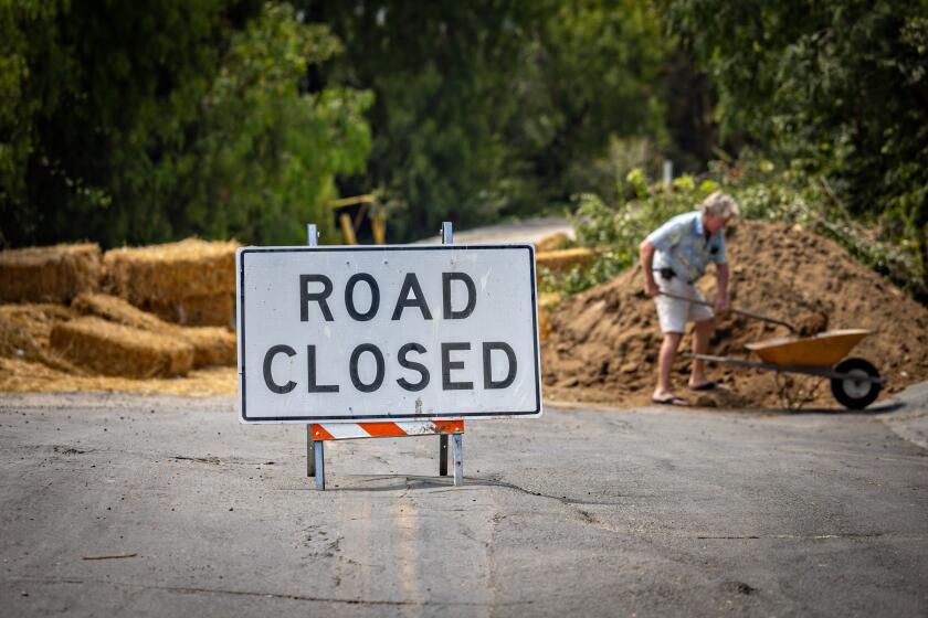
For those who decide to stay in their homes in or around the burn areas, “just try not to drive around those areas,” Kittell said. Even if there’s not major debris flow, there’s a potential for mud to sweep down roads, forcing road closures around the burn area.
The incoming rain has prompted concern from residents and officials in the the Palisades and Eaton fire zones where crews are working to remove debris from leveled neighborhoods.
An 8½-mile stretch of Pacific Coast Highway from Chautauqua Boulevard in Pacific Palisades to Carbon Beach Terrace in Malibu remained closed ahead of the storm.
Last month’s Palisades fire — which charred more than 23,700 acres in Pacific Palisades and Malibu — had chewed through the vegetation on the hillside above the scenic highway, leaving it vulnerable to slides. It is not clear when the highway, which has been shuttered for a week, will reopen.
The Eaton fire, which burned more than 14,000 acres, also leaves the hillsides above Altadena susceptible to landslides. According to data compiled by USGS, a rainstorm that delivers a peak 15-minute rainfall intensity of 1.57 inches per hour would have an 80% to 100% chance of generating debris flows.
About a year ago, pounding rainfall triggered damaging debris flow and mudflows in a number of hillside neighborhoods in Southern California, including Beverly Glen, Studio City, Tarzana, Baldwin Hills and Hacienda Heights.
When the Thomas fire swept down from the Los Padres National Forest and took aim at this coastal town in December, the looming disaster was impossible to miss.
Some of the state’s deadliest debris flows have struck after wildfires.
In January 2018, 23 people died and numerous structures were destroyed when a river of mud and rock flowed through Montecito, which had been burned less than a month earlier in the Thomas fire. That fire, one of California’s most destructive on record, burned 282,000 acres in Ventura and Santa Barbara counties and destroyed more than 1,000 structures.
In 1982, a debris flow hit Love Creek in the Santa Cruz Mountains. The area hadn’t burned beforehand, but heavy rains destabilized the slopes. Ten people died, including two children, and 30 homes were destroyed.
Moments into New Year’s Day 1934, a major flood and debris flow came sailing down La Crescenta Valley, triggered by heavy rains preceded by a fire in the nearby Angeles National Forest. A 20-foot wall of mud and rocks came thundering out of canyons, killing 45 people and destroying more than 400 homes, according to Los Angeles County archives.
Homes built on land with past landslide activity are on the market. Here’s how homebuyers can assess a property’s risk to land movement.
Burn areas are at the highest risk for debris flow in the first year or two after the flames are put out. But they’re still more prone to debris flow for three to five years after a fire — the amount of time usually needed for vegetation to grow back. With each additional year of recovery, the risk decreases, experts say.
Times staff writer Grace Toohey contributed to this report.
More to Read
Sign up for Essential California
The most important California stories and recommendations in your inbox every morning.
You may occasionally receive promotional content from the Los Angeles Times.


